
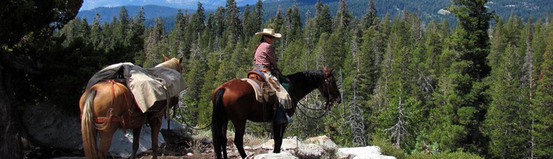
Palisades Ride and Pack Trip
As you know we are planning a two night/three day pack trip to the Upper Palisades Lake. The dates are Thursday, Friday and Saturday, September 9, 10, & 11. I hope we can leave the Palisades Parking lot by 10:30 AM. We need to be there by 9:30 to put our loads together. If you would like to go please email me ([email protected]) with the answer to the following questions:
1. Will you go on the above dates? In your email please include your other contact information.
2. Do you have a horse or mule and equipment that is suitable for packing?
3. Can you carry your personal items on your riding horse?
We will ride to the upper end of the upper lake and set up camp on Thursday. On Friday we can ride on up Palisades Creek Canyon to the water falls ( probably not much water this year). On Saturday morning we will pack up and return to the trailhead.
Our menu will depend on how many go and the number of pack animals we have.
God bless the trails we ride. Bob Deeter
1. Will you go on the above dates? In your email please include your other contact information.
2. Do you have a horse or mule and equipment that is suitable for packing?
3. Can you carry your personal items on your riding horse?
We will ride to the upper end of the upper lake and set up camp on Thursday. On Friday we can ride on up Palisades Creek Canyon to the water falls ( probably not much water this year). On Saturday morning we will pack up and return to the trailhead.
Our menu will depend on how many go and the number of pack animals we have.
God bless the trails we ride. Bob Deeter
For those that can not stay overnight, the Palisades Trail can be done in one day, and is an an easy trail to follow.
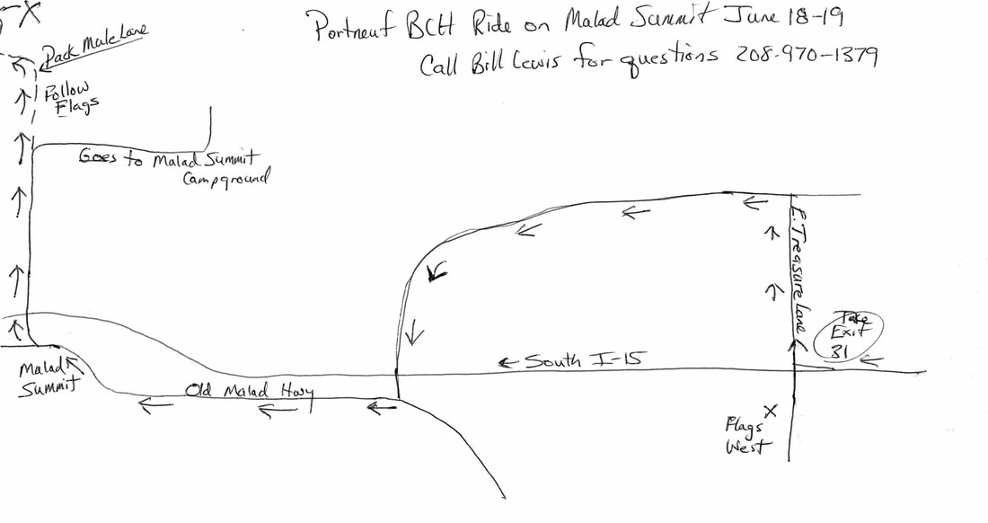
Malad Horse Ride June 18 and 19
UPDATED INFORMATION ON Malad Horse Ride June 18 and 19Ride Leader Bill Lewis
Friday Evening meet on Bill's Property (https://trailmaps.us/Malad or visit website at prbch.org) and go on a short ride south toward Bissel Spring. Before the ride, we will have a potluck dinner. Barbecue chicken will be ready at 7 PM. For the potluck those attending with last name a-g bring a salad, h-o bring a vegetable, p-z bring dessert)
Bill will cook us pancakes Saturday morning at 8:30 AM. Ride will probably start at 9:30 AM. It will be a 7-mile loop ride in South Canyon. Any questions call 221-4626 or [email protected]
Friday Evening meet on Bill's Property (https://trailmaps.us/Malad or visit website at prbch.org) and go on a short ride south toward Bissel Spring. Before the ride, we will have a potluck dinner. Barbecue chicken will be ready at 7 PM. For the potluck those attending with last name a-g bring a salad, h-o bring a vegetable, p-z bring dessert)
Bill will cook us pancakes Saturday morning at 8:30 AM. Ride will probably start at 9:30 AM. It will be a 7-mile loop ride in South Canyon. Any questions call 221-4626 or [email protected]
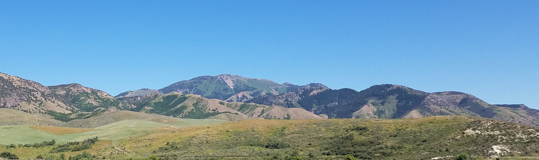
Ride Leader Bill Lewis
Friday Evening (about 7 PM) meet on Bill's Property (https://trailmaps.us/Malad) and go on a short ride south toward Bissel Spring. Following the ride, we will have a potluck dinner. Barbecue chicken provided (last name a-g salad, h-o vegetable, p-z dessert)
Bill will cook us breakfast on Saturday morning. Then we will do a 7 mile loop ride in South Canyon. Please RSVP at [email protected]
There is water for horses available. There are no corrals available. Therefore horses can be kept overnight with highlines between trailers, tied to trailers, staked out, or in a pen with portable electric fence.
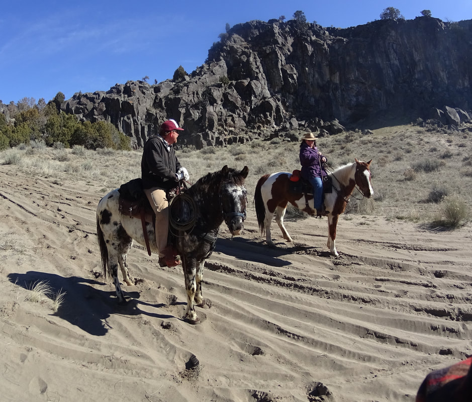
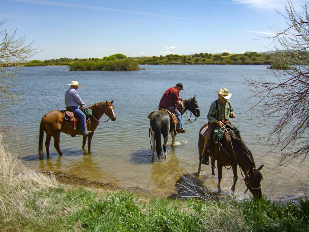
Ride this Saturday below American Falls
|
|
This is a good ride to get your horse in shape. there is lots of sand and great scenery. It is about 9 miles long and has about 800 feet of climbing. We will take it easy. There is bound to be some barn sour horses. If your horse makes mistakes don't be too concerned. Everyone has to get their horses tuned up in the Spring.
Meet this Saturday (4/10) at 10 AM. Drive to American Falls and then through town to the Dam. After crossing the dam turn left on Lamb Weston Road. Our meeting place is a gravel area on the left. Try to be on time but if you are running late call me, Steve Hurley at 221-4626. We will then zig-zag down the roads to Lake Channel Road. Our parking spot is 6.2 miles from our meeting spot. It is on the left side next to the road.
Meet this Saturday (4/10) at 10 AM. Drive to American Falls and then through town to the Dam. After crossing the dam turn left on Lamb Weston Road. Our meeting place is a gravel area on the left. Try to be on time but if you are running late call me, Steve Hurley at 221-4626. We will then zig-zag down the roads to Lake Channel Road. Our parking spot is 6.2 miles from our meeting spot. It is on the left side next to the road.
This week is a special ride scheduled for City of the Rocks. I am excited about showing members this area. It is a notable geologic site as well as a landmark along the California Trail. Over the last few decades City of Rocks has become a mecca for rock climbing.
The main ride goes up and around the whole area. Lunch is in a meadow called Indian Grove. Water for horses is available along the ride. The trail is not particularly rocky and there is shade along the way. The ride is about 10 miles long and the total climbing is 2000 feet. I picked the date in May because the weather is usually just right. Be prepared for showers.
If you plan to come up Friday or Saturday morning, meet at 10AM at the visitor center in Almo. If you come up Friday night call me for instructions. I have reserved the Juniper Grove group camp that has an attached fenced area for horses. Some natural forage is available, however, bring weed free hay or bagged food. Bathrooms are available, but no water. Horse water is available down the road.
Friday Dinner will be a potluck camp dinner with the main meat dish provided. Please RSVP to Steve Hurley 221-4626 [email protected]. Be sure to download this brochure. It has a lot of information on getting there, and where everything is located. https://trailmaps.us/City_of_Rock
The main ride goes up and around the whole area. Lunch is in a meadow called Indian Grove. Water for horses is available along the ride. The trail is not particularly rocky and there is shade along the way. The ride is about 10 miles long and the total climbing is 2000 feet. I picked the date in May because the weather is usually just right. Be prepared for showers.
If you plan to come up Friday or Saturday morning, meet at 10AM at the visitor center in Almo. If you come up Friday night call me for instructions. I have reserved the Juniper Grove group camp that has an attached fenced area for horses. Some natural forage is available, however, bring weed free hay or bagged food. Bathrooms are available, but no water. Horse water is available down the road.
Friday Dinner will be a potluck camp dinner with the main meat dish provided. Please RSVP to Steve Hurley 221-4626 [email protected]. Be sure to download this brochure. It has a lot of information on getting there, and where everything is located. https://trailmaps.us/City_of_Rock
The Crane Creak Ride is within the Portneuf Wildlife Management Area "WMA." The Idaho Department of Fish and Game manages thirty-two WMA as a way to protect wildlife habitat for hunting, fishing and other public enjoyment. The interactive ride map below shows where the ride starts, the probable route up to National Forrest, along the boundry trail (open to ATV on May 15) and then down again. It is about eight miles long and includes 2,500 ft of climbing. Fatigue factor (1pt/3miles and 1pt/1000ft climbing) = 5 or intermediate physical challenge for horse and rider. There are small creek crossing and rocks on the Boundry Trail. See Calendar for maps of road to Trailhead.
CITY OF ROCKS AND CASTLE ROCK STATE PARK
RIDE JUNE 13TH AND 14TH 2018
Meet at 10AM at the Store and Gas Station in Almo. Almo is 176 miles from Rexburg and 103 miles from Pocatello. We will then proceed to enter the City of Rocks, and park at the intersection “Park Here” noted on the topo map at the end of this handout. We will have lunch at Indian Grove. After the ride we will then drive south along Twin Sisters road to the Juniper Grove Group site. Bring water for horses. There is water along the trail on the first ride. On Thursday morning we will have breakfast and pack up for a drive over to Castle Rocks State Park for the second ride. Finally, it will be time to drive home or stay one more night. Possible rides would be to explore the trail around Cache Peak or just visit the Independence Lakes.
If your birthday is on a day numbered between 1-10 bring salad (fruit, green, bean), if on a day numbered 11-20 bring vegetables, or starchy salad like potato salad, if on a day numbered 21 to 31 bring dessert. I will provide the meat, probably roast beef and chicken. Bring your own drinks and lunches. In the morning I will make pancakes, sausage and eggs. Probably a donation of $10 would be more than adequate. Please RSVP to [email protected] or 208 221-4626 so I know how much food to bring.
RIDE JUNE 13TH AND 14TH 2018
Meet at 10AM at the Store and Gas Station in Almo. Almo is 176 miles from Rexburg and 103 miles from Pocatello. We will then proceed to enter the City of Rocks, and park at the intersection “Park Here” noted on the topo map at the end of this handout. We will have lunch at Indian Grove. After the ride we will then drive south along Twin Sisters road to the Juniper Grove Group site. Bring water for horses. There is water along the trail on the first ride. On Thursday morning we will have breakfast and pack up for a drive over to Castle Rocks State Park for the second ride. Finally, it will be time to drive home or stay one more night. Possible rides would be to explore the trail around Cache Peak or just visit the Independence Lakes.
If your birthday is on a day numbered between 1-10 bring salad (fruit, green, bean), if on a day numbered 11-20 bring vegetables, or starchy salad like potato salad, if on a day numbered 21 to 31 bring dessert. I will provide the meat, probably roast beef and chicken. Bring your own drinks and lunches. In the morning I will make pancakes, sausage and eggs. Probably a donation of $10 would be more than adequate. Please RSVP to [email protected] or 208 221-4626 so I know how much food to bring.
Oxford Peak Ride 2016 from Stephen Hurley on Vimeo.